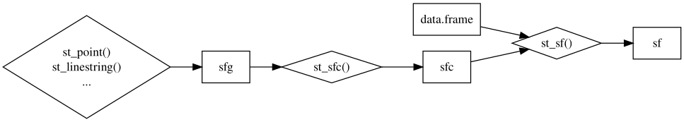
Code
# Build the "spatial" part
rsmaes_pt_coords <- st_point(x = c(-80.1632879, 25.7328129),
                             dim = "XY") |>
  st_sfc(crs = 4326)
# Combine with the "attributes" part
rsmaes_pt <- st_sf(id = "Rosenstiel (point)",
                   geometry = rsmaes_pt_coords)
# Visualize
m <- mapview(rsmaes_pt)
m@map |> leaflet::setView(lng = -80.16328, lat = 25.73281, zoom = 17)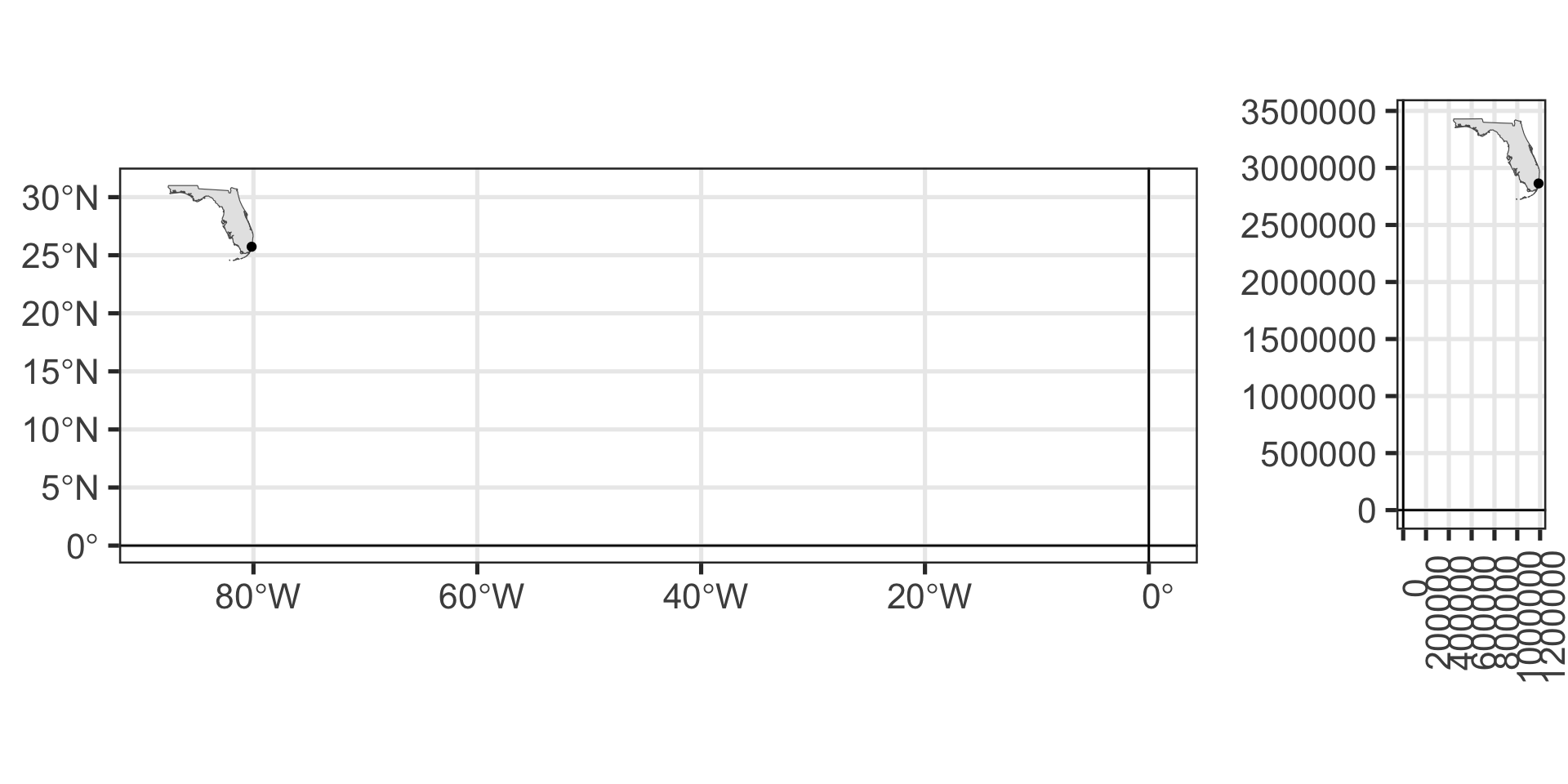
 . . .
. . .